Well, this afternoon, in a matter of three hours, Anna and I conquered the tallest mountain in the world at a staggering height of just over 37,000 feet. Do you know what its name is?? No, it’s not Mt Everest, nor Mt Kilimanjaro. It’s called Mt Lam Lam.
🙂 OK, so only 1,331 feet are above sea level. The rest is underwater and goes down to the Marianas Trench (the deepest known place in the world). However, it’s the highest point in Guam.
It’s a deceptively challenging hike. Many people who try to summit Mt Lam Lam, get diverted the much easier (but only about 50′ lower) Mt Jumullong.
However, we made our way through the jungle and vast morass of spider webs…
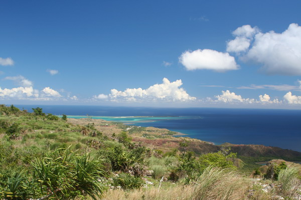
When we go up to the top, there were some beautiful vistas of the island that greeted us. Here’s the view of Cocos Island to the south.
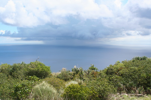
Here’s a small tropical shower out over the Pacific.
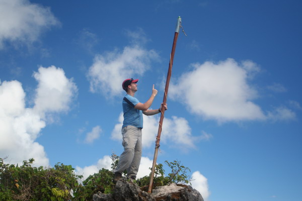
Here I am (almost) on top of the world!
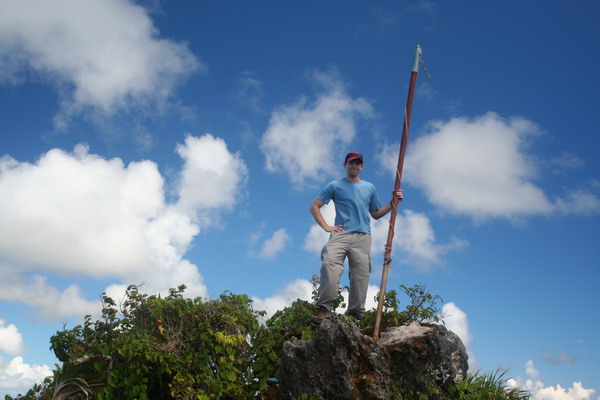
If only I could go up just a little more…
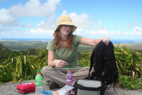
Of course as is our tradition, while we were up on top, we had to have a little picnic.
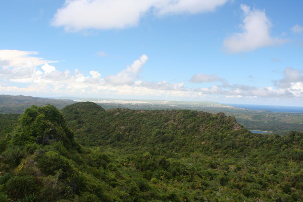
Another interesting perspective is to look north from Mt Lam Lam. If you look closely in this picture, you can see both sides of the island. It’s a unique location to get a feeling of just how small (or large) Guam really is. Although there is plenty of space and it certainly doesn’t feel small, it’s easy from this vantage point to get a feel for the layout of the island. For your reference, Guam is 212 square miles (or about three times larger than Washington D.C., or about a third the size of the Hawaiian island Oahu), and at the smallest only 3-4 miles wide (as this picture shows).
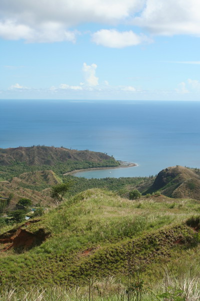
On the way down, we found this very nice perspective of Cetti Bay.
So, that concluded our hike up the towering Mt Lam Lam. A fun little hike, but be warned. It’s tougher than it looks! 🙂
Until the next adventure…
–Jim
Day: May 29, 2006
Cocos Crossing
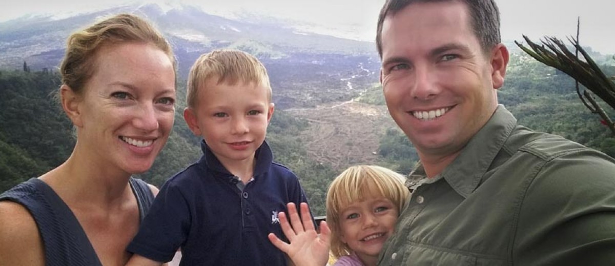
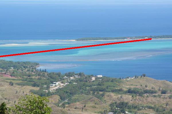
This Memorial Day weekend was the 16th annual Cocos Crossing. This is a chance for a couple hundred slightly masochistic people to get on a ferry way too early in the morning and ride two and a half miles out to Cocos Island off the southern coast of Guam. Then, get in the water and swim back to Guam. Perhaps I am doubly so, because it was the second year I did it. 🙂
Here’s the island and the approximate swim route.
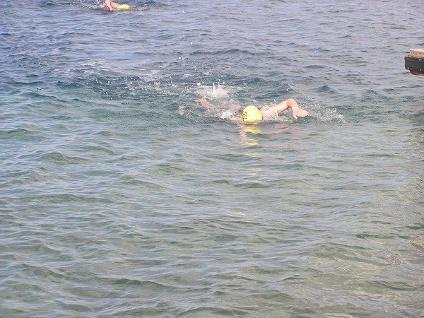
Anna stayed on the big island and hung out waiting for us to return. The winner made the trip in 42 minutes. He was a swimmer from Japan. I, on the other hand, took an hour and eight minutes to make the crossing. That’s a couple minutes faster than last year, so I was pleased. Especially since I hadn’t been in the water since April 1st at the Saipan X-Terra triathlon.
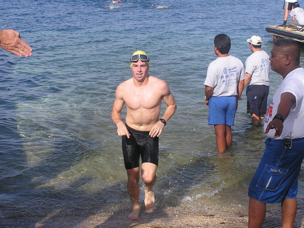
Here I am coming in and getting out of the water.
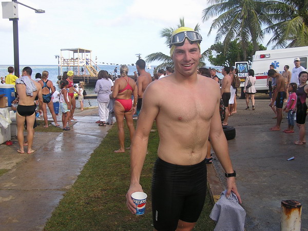
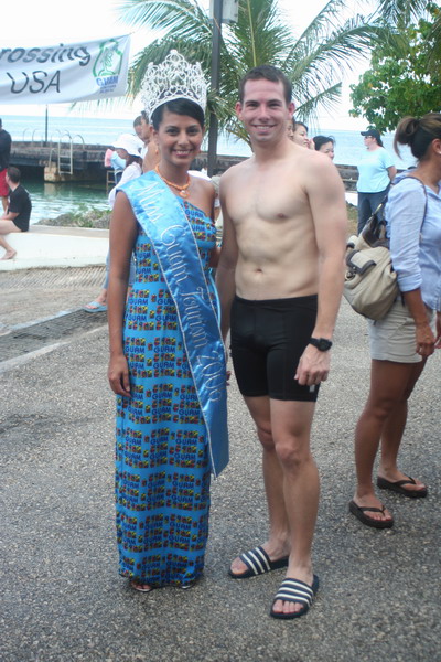
This year, we even had Miss Guam Tourism on hand to congratulate the finishers. Of course, Anna made me get a picture with the girl in the tiara. 🙂
It was a fun race, and the really only issue was about 400 meters from the finish, I got a little jellyfish sting. Don’t worry, it was no worse than a bee sting and went away relatively quickly. 🙂
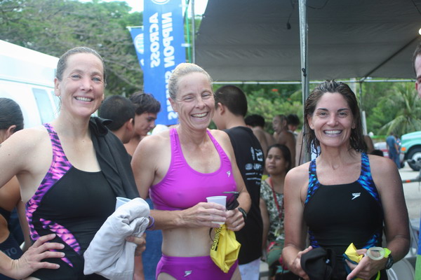
Here are a few of the ladies from the base who also did the swim.
It was a good morning, and I didn’t feel bad at all having a large fried breakfast!
Until the next adventure…
–Jim