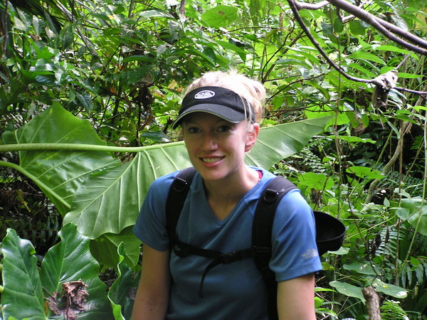
This weekend has mostly been about spending time with each other (since Anna and I were apart for entirely too long). However, what weekend would be complete without a little adventure.
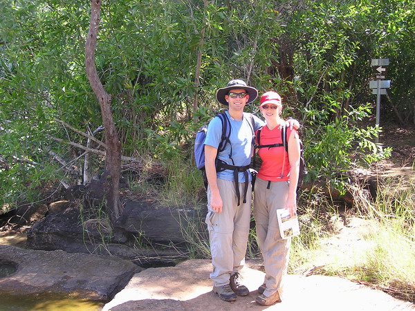
So, we talked our friends Mark and Samantha into going hiking with us.
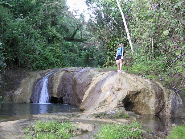
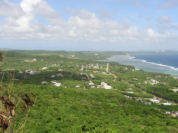
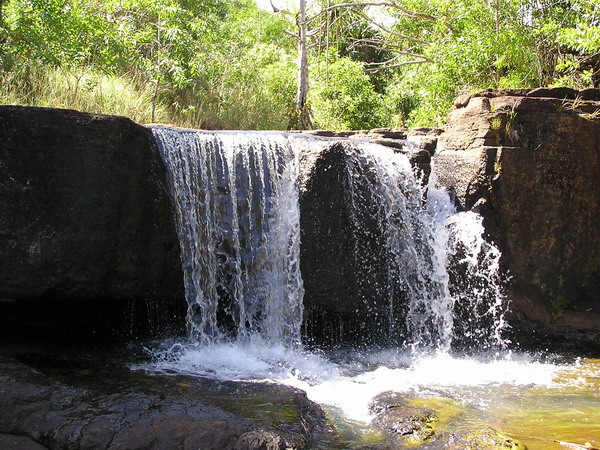
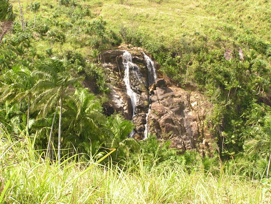
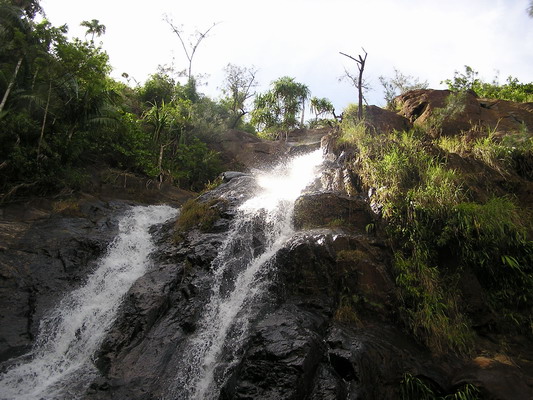
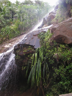
We decided to go on a medium difficulty hike. Our choice was a 40 foot waterfall in the center of the island called Lonfit Waterfall.
This was very close to another waterfall (that also happened to be the first hike we went on here in Guam, called San Carlos Falls).
So, without a whole lot of difficulty, we made our way down into the valley where the waterfall was. It helped that there was a pretty well established trail though.
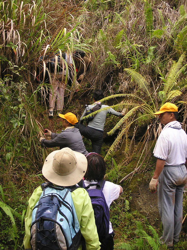
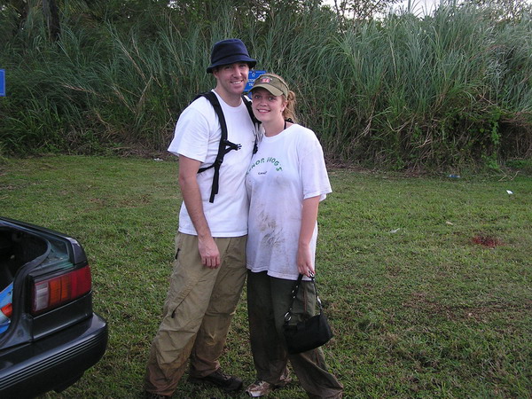
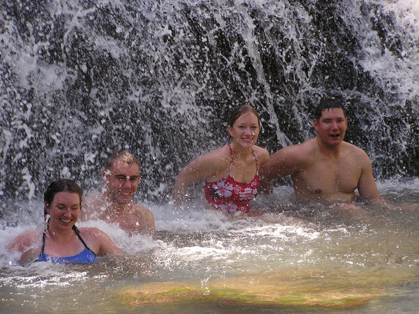
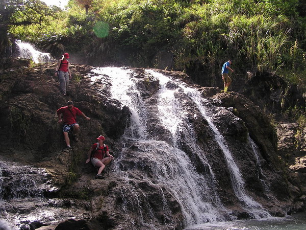
When we got close, we heard a lot of talking, so we knew there were already people there. Once we got down to the waterfall, we found a group of about 10 Japanese tourists who’d also hiked to the falls. They were very nice and were just about to head back as we arrived.
Here they are headed back up the hill.
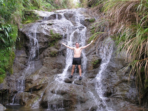
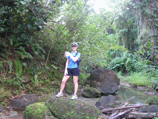
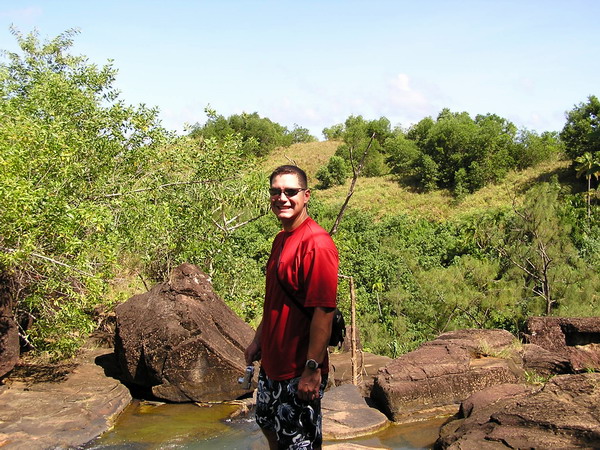
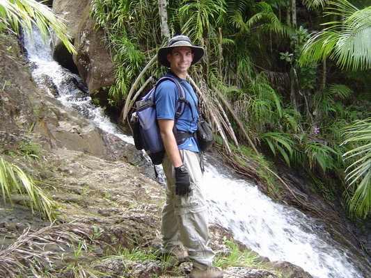
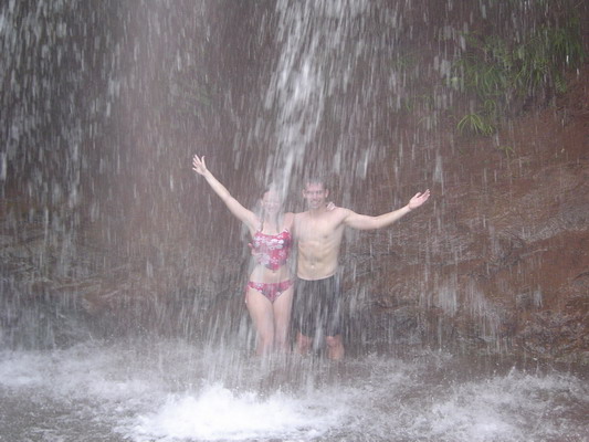
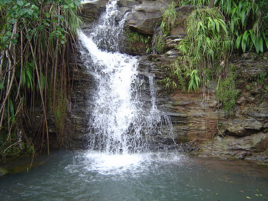
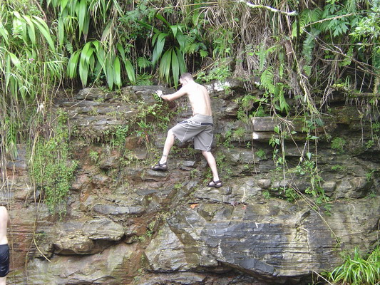
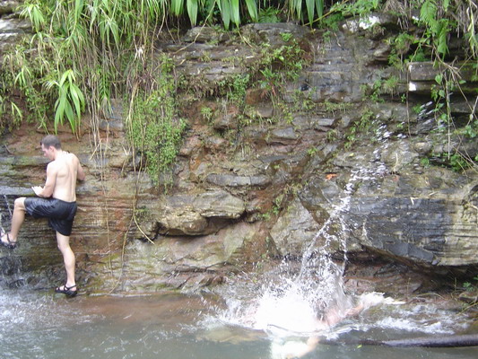
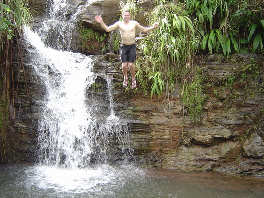
And here I am on the falls. 🙂
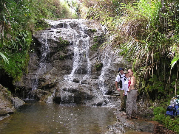
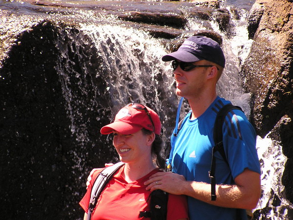
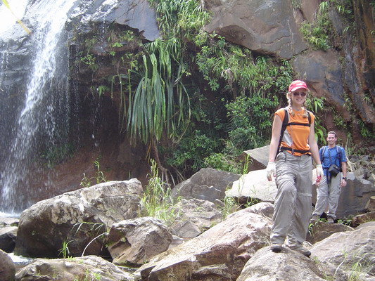
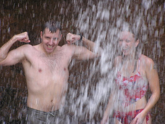
Here’s everyone else. As you can see, no one else wanted to play in the water.
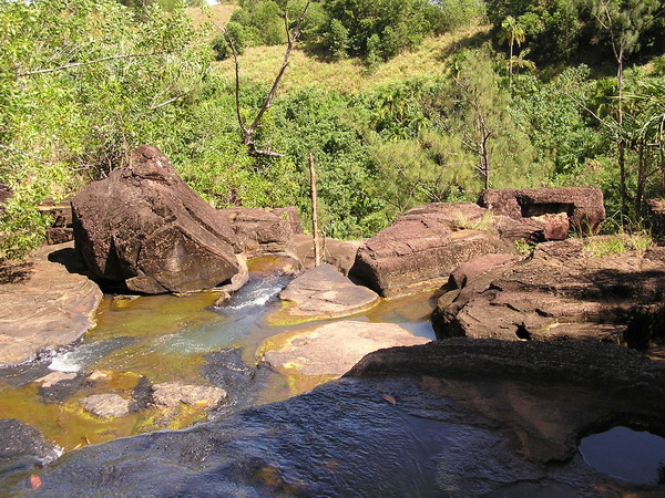
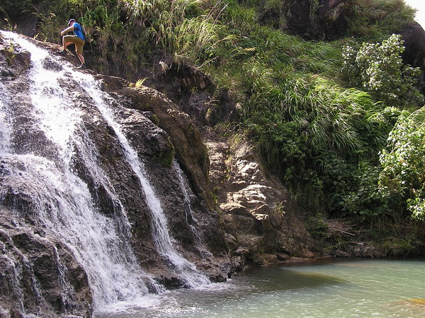
Once we hit the river, that became our trail for the rest of the hike.
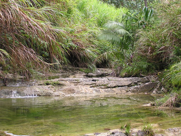
We also went in search of the swimming hole further up another branch of the river. The Japanese group also went looking for it, but told us they couldn’t find it. So, we headed down hoping that we would be able to find it.
Eventually, after hiking through the river for while, we came upon the swimming hole (I think the Japanese group just didn’t go far enough up the river).
It looked very inviting (since we were hot and there was a rope swing). However, two things kept everyone out of the water.
1. The mosquitoes were voracious (I killed three simultaneously
within a square inch on my shoulder)
2. There was a 4 foot fresh water eel swimming around in the
pool. While I HIGHLY doubt he would have bothered us, he was
big enough and scary enough that no one wanted to get close
enough to check.
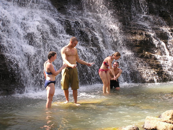
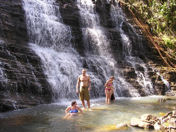
So, instead, we took a couple pictures and turned around and headed back the way we came. 🙂
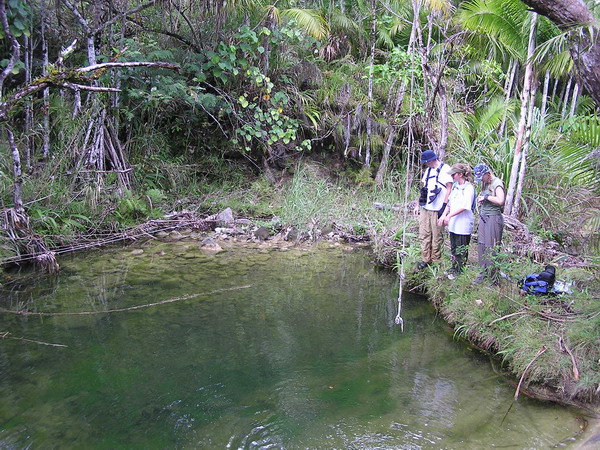
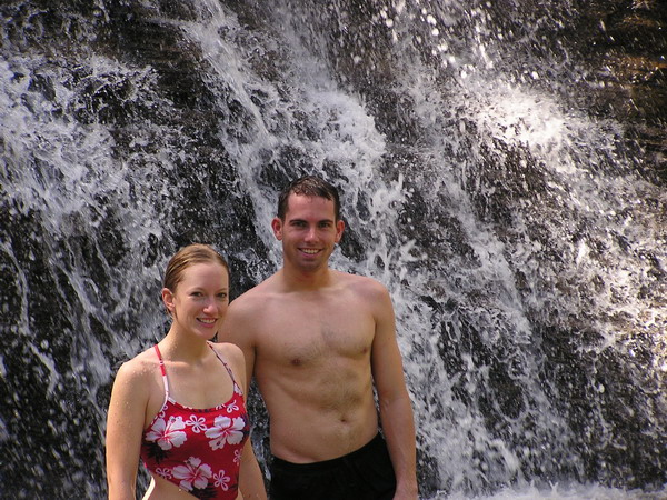
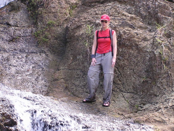
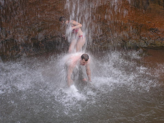
Here is everyone by the water’s edge (the eel didn’t stay around long enough to get his picture taken).
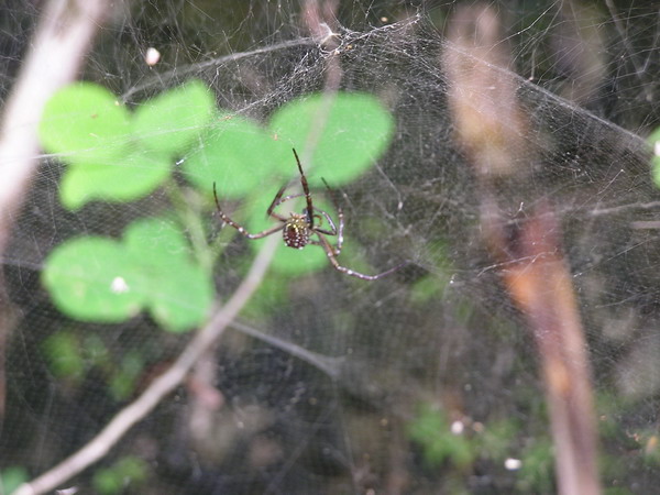
Here’s another local resident of the jungle (a Banana Spider).
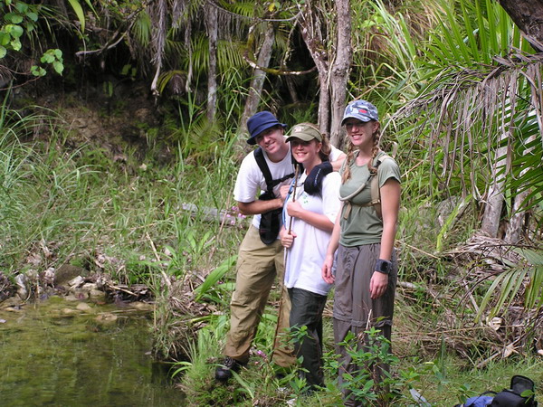
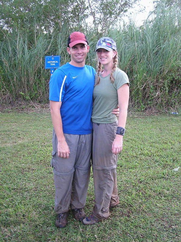
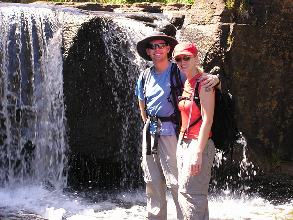
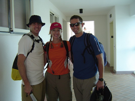
Here we are after the hike. As you can see, we got a little dirty, but that’s half the fun!
Another fun hike with great friends.
Until the next one…
–Jim
Category: Hikes
Gingras Family Visit Part 1–Welcome and Waterfall Valley
This Christmas, Anna and I had the pleasure of hosting my family in Guam for almost 2 weeks. (I know it’s now Feb and I am just posting this…)
Mom and Dad arrived into Guam on the usual Flight 1 from Hawaii. Yes, Continental Airlines has a flight one, and it’s direct from Honolulu into Guam! Forunately, they arrived on the Thursday before Christmas and I had the next 4 days off.
So, we got to go on an island tour (it takes about 3 and a half hours to drive all the way around Guam), to the beach (where the waves were about 10 feet high).
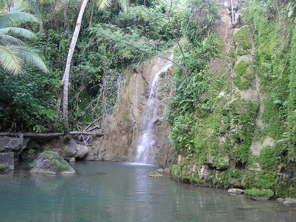
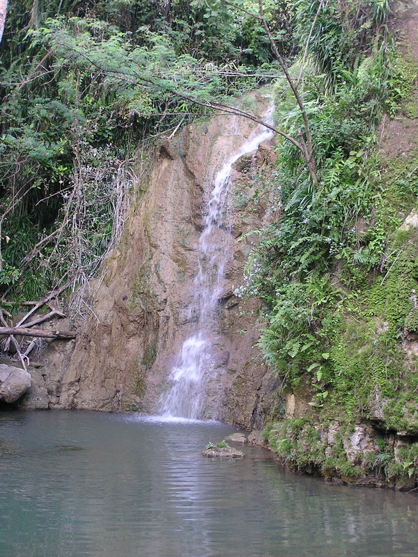
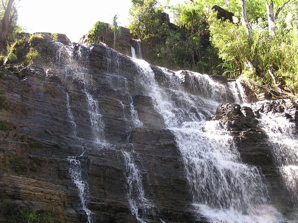
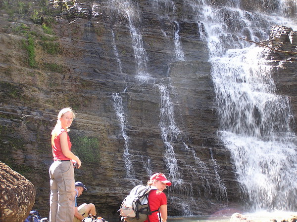
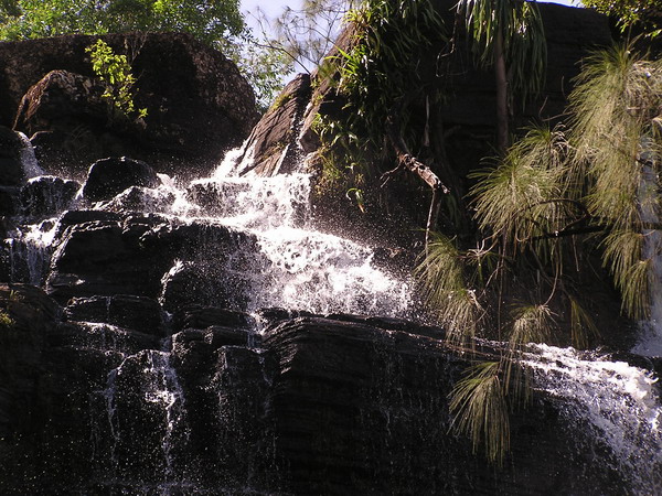
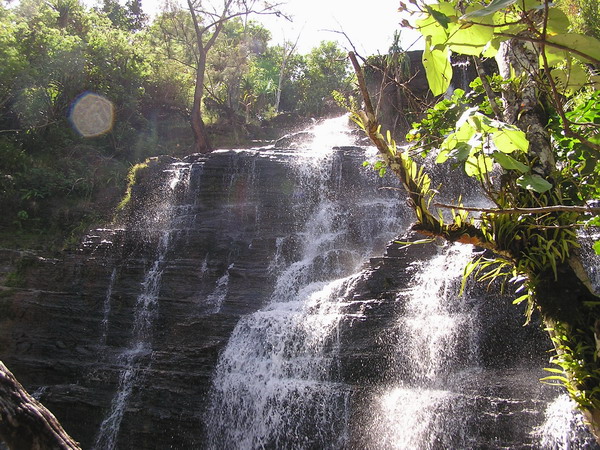
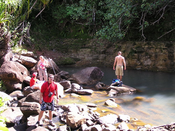
Unfortunately, Mom’s camera was a casualty of the ocean water (on their very last day here … after she had taken about 500 pictures). So, we don’t have many pictures from the first weekend. However, here are the pictures from a hike we went on to a place in Southern Guam called Waterfall valley.
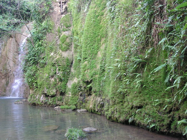
This is a neat little valley that is chock-full of waterfalls. I’ll let the pictures speak for themselves.
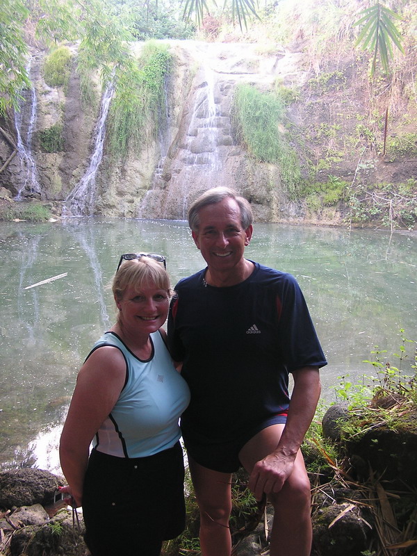
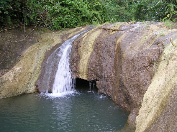
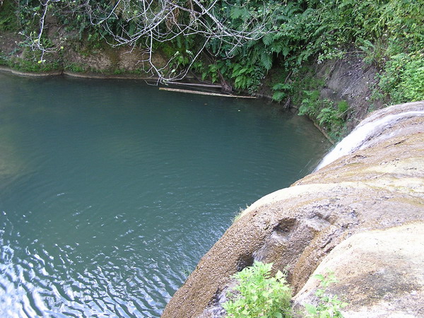
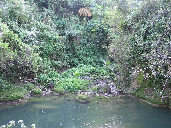
It was a nice afternoon hike and a good introduction for my parents to the jungles of Guam.
After the long weekend, I went back to work for a few days, then, Julie and her boyfriend, Michael came to join us from their home in Los Angeles.
We celebrated Christmas twice. Once on Christmas morning and once again when Julie was with us. 🙂
The next entry will have shots of the underwater life in Guam…
–Jim
Talafofo Caves
One of my other extracurricular activities if you will is that I am a member of the company grade officer’s council on Andersen. Also, I am the VP who is responsible for setting up social events for all the junior officers (aka company grade).
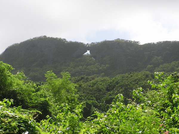
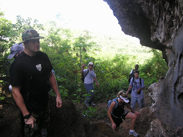
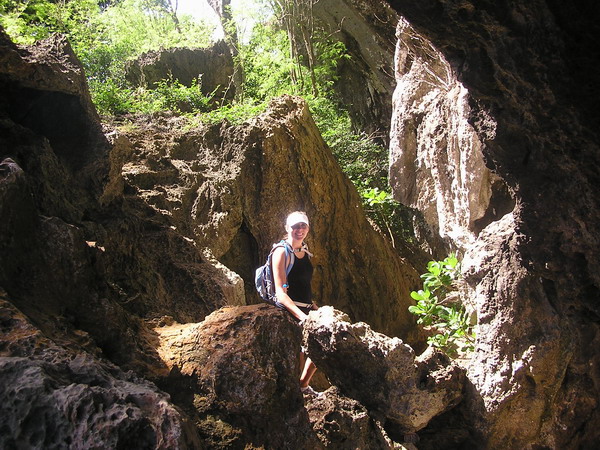
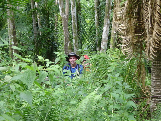
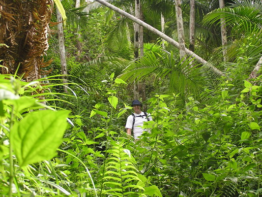
So, over the Thanksgiving weekend, we decided to use the day after the holiday to burn off a little of the turkey and pumpkin pie…our destination was the series of caves in the village of Talafofo on the southern end of Guam, aptly named, the Talafofo Caves.
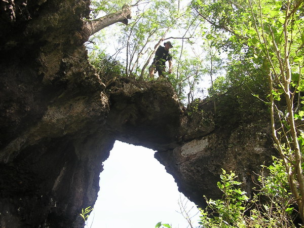
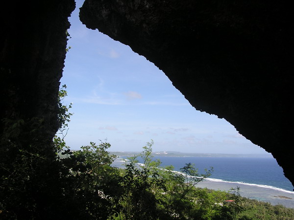
The most distinct landmark around the caves is Window Rock. In fact, here’s what it looks like from the road down below:
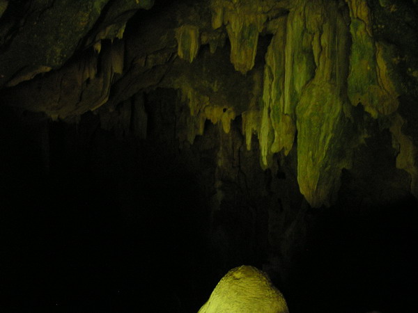
There were six caves that we explored. However, two were so steep that a rope was required. There was conveniently a rope in both already, but it wasn’t safe enough to descend with out harnesses and belay devices…so, our exploration was limited to what we dared to explore with only our flashlights.
In fact, I didn’t bring my camera in most of the caves. So, here’s the only photo I have from the inside of the caves…and it’s not a very good picture even.
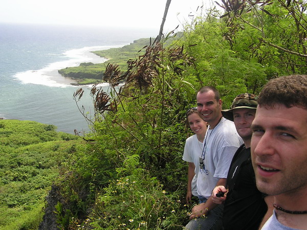
After we’d explored about half the caves, we went up to window rock. Here are the photos from the group up there…
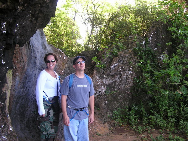
Here is Kevin climbing a tree…can you pick him out??
Keith Q decided he wanted to be ON TOP of window rock…so, he jumped up that tree you saw Kevin climbing, used his machete and hacked his way up. Way to go, Q!
Here is the reverse view of window rock. This is looking through, back down to the water and road.
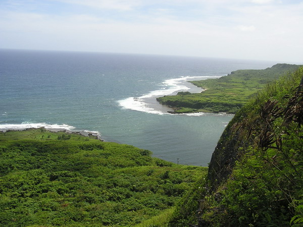
Next, we decided to hike over to the edge of the ridge where there was an old US Geological Survey marker. We found the marker and a nice view to go along with it.
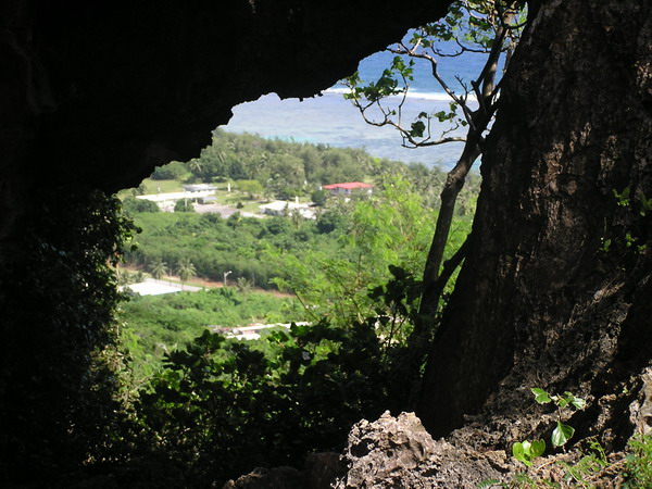
We also found a cave that went straight through the ridge and came out the other side, to yet another pretty view:
Well, that about does it for my pictures of the caves…it’s a very fun place to explore. I would like to go back with more gear and actually rappel down the 100 feet or so into the most technical cave…anyone care to join me?
–Jim
Tarzan Falls and Swim Hole
Well, last weekend, the day before a duathlon, we decided to venture into the jungles of Guam yet again. It was our friend Kevin’s last weekend on the island, so we wanted to go with him somewhere fun. Charles and Stephanie accompanied with us on this adventure as well. It was quite a fun adventure indeed. In fact, as seems to be the theme to our hikes, it was a little more than we planned on. It took us three hours to hike through the river from Tarzan Falls to Tarzan Swim Hole. We had planned on it taking less than an hour. So much for my credibility with estimating time!
Here we are right at the top of the falls. It’s a pretty well established trail to get down to the falls. A good beginner hike.
Here’s Kevin on top as well
A view from the top of the falls looking down…
The first little falls. Tarzan Falls is actually a number of shortly spaced out falls.
Charles and Stephanie:

The one problem with Tarzan Falls is that there are freshwater shrimp and eels in the water. As you can see, this was a bit of a surprise to some of the group…
After we had our fill of the falls, we decided to continue the adventure and hike through the river down a mile to Tarzan Swim Hole. This was quite the rough path to take.
Here we are starting out…
This was also about the point where Anna decided she wasn’t too happy with the decision to walk through a river that reminds me of the mucky rivers from Vietnam you see in the movies…
This is also where the photos stop. We continued on for another 4 hours or so, but it was a struggle just to keep the camera from getting completely doused in water, let alone take more pictures. So, unfortunately, you don’t get to see the very pretty Tarzan Swim Hole, but take our word for it….it was worth the effort (even Anna agreed).
So, until the next adventure…
–Jim
2 waterfalls — 1 Hike
Well, this afternoon, we decided that it had been entirely too long since we last ventured into the jungles of Guam. So, Anna and I, along with our neighbor and good friend, Mark Koeppen, set off on another hike (also known as a Boonie Stomp here on Guam).
Here we are ready to leave the building…
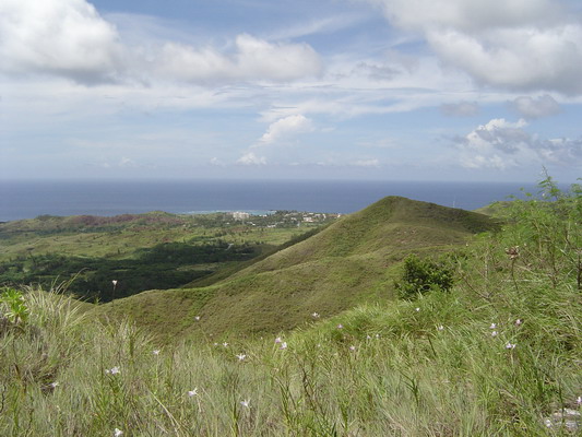
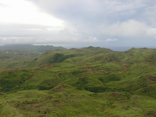
Our destination for the day was a river valley in central Guam called Sigua. This is also a popular destination for 4 wheel drive vehicles, so as usual for the US, there’s a constant struggle between protecting the native environment and allowing people to use their off road vehicles. Fortunately, there weren’t too many out today, so
we had relative tranquility.
Here’s the view from the beginning of the trail:
If you have ever hiked on Guam you know there are three things that can happen as you try to find your way:
1. There are so many trails (each with marking tape) that it’s very difficult to discern the true path.
2. The trail evaporates into nothing as plants go quickly to obscure the path.
3. The real trail and the map do not agree.
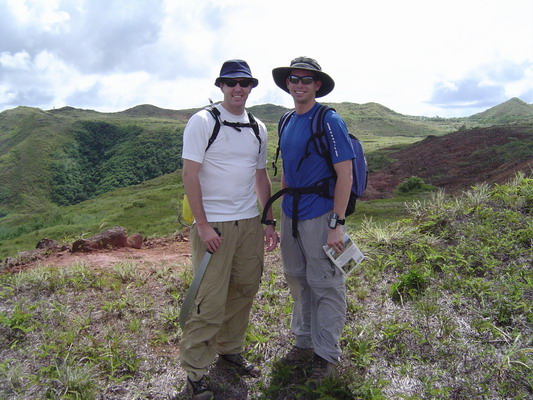
So, today, I was very careful to check and double check our route (it was Mark’s first time hiking with us and I wanted him to go with us again):
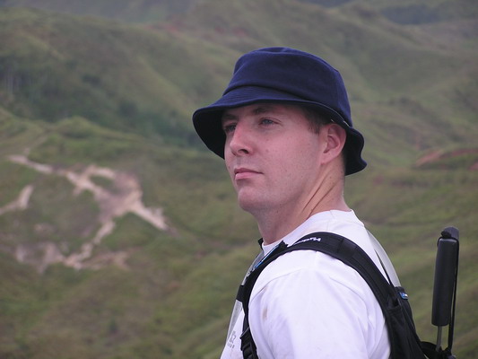
Mark and I along the trail.
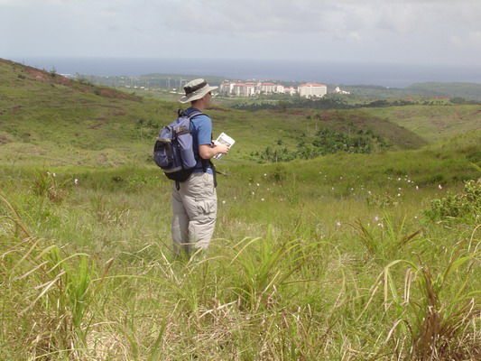
Our route was along a ridge to a particular tree…here is Anna pointing out that useful tree (yes the trail guide actually mentions this tree as the location where we turned):
Here is our first view of our first destination, Upper Sigua Falls.
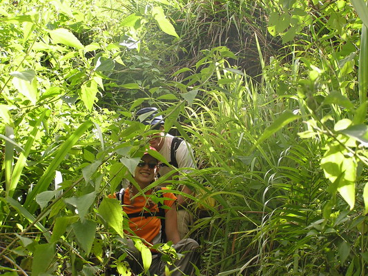
From here, the trail diverged from the grassy savannah, to a very steep, slippery jungle path. It was made more slippery by the near constant rain over the last 2 weeks. In places people who had gone before were nice enough to leave a rope to allow us easier passage down the slope. In fact, today without the rope, it would have been impossible to get down.
Here’s a shot of Anna and Mark coming out of the VERY dense bushes:
Here is Mark’s perspective looking down at me and Anna.
Here you can see a little more open part of the jungle.
We finally made it down the slope, and arrived at a very majestic waterfall.
The pool beneath was cool, but shallow. However, we were able to make it around behind the falls:
Mark hamming it up…
We each took turns seeing if we were tough enough to bear the brunt of the force of water as it came down…turns out we were.
A final shot of Upper Sigua Falls in the afternoon sun.
The next destination was a little way up the valley. So, we got our clothes back on (albeit wet clothes) and headed back up another steep and slippery part of the ravine. We wound our way back up to a place called Alutom Falls.
Here’s a shot of the small but very picturesque falls.
This time the pool beneath was a little deeper, so Mark and I decided to take a plunge.
Here is Mark climbing up the rocks:
Here is Mark NOT climbing up the rocks…
Yes, the rocks were a little slippery. Don’t worry, he was fine, and after he saw that Anna had photographic evidence of his fall, thought it was quite funny.
Here I am in mid-leap.
Once we satiated our desire to jump off of things, we headed back up the other side of the valley, to complete a large loop.
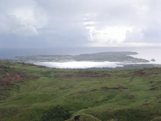
We hiked up to the top of Mt. Alutom.
Here are a couple shots from the top:
This is the main commercial and military harbor of Guam, Apra Harbor.
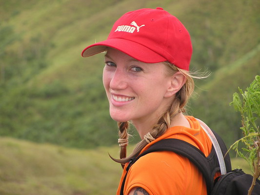
My beautiful wife:
After taking the pictures on the peak, we headed back to our car to complete a 2.75 mile hike that took just about 2 hours of hiking time (3 hours total).
It was a very enjoyable hike with some great views of our island home.
–Jim
Cliff Diving — Pagat
Most people see the rugged cliffs of Northern Guam and appreciate the beauty of it. Today, we found another way to appreciate it; jump off the 66’ledge into the crystal blue water. It was a new experience for both Anna and I. We’d jumped off high rocks into rivers, but nothing quite like this.
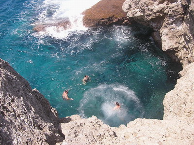
After we fully enjoyed the cliffs (including more than a couple jumps), we headed inland to the Pagat Caves. This area was the former home of a Chamorro Village up until the 18th century. The cave provided shelter and fresh water for the locals living there. For us, it afforded an unique experience of a fresh water swimming hole in a cave. Inside the water was cool and refreshing. The shore was ringed with candles from previous hikers. We lit them and chatted with our friends who had brought us to the cave. Our group included: Jude and Donna Baker, Rob and Carrie Fry, and Kevin Mares, plus Anna and I.
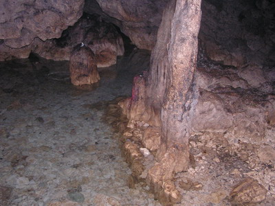
Here’s a view from the entrance of the cave. The main room is off to the left (out of the picture).
This was quite an enjoyable hike…we look forward to coming back again soon.
Jim
Double Reef
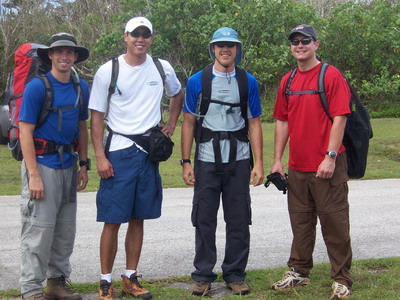
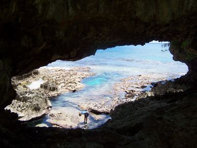
Our hike today was to a remote beach named Double Reef. This is on one of the many Navy properties. It’s secluded, pristine and as you can see, rather beautiful.
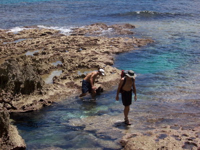
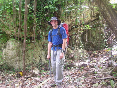
Our hike included a few Air Force friends of ours: Kevin Mares, Romeo Miranda and Paul Hughey. Our goal for the day was find a good hike with water at the end to cool off in. Double Reef certainly accomplished that. We made it down to the reef with relative ease. In fact, it was our first hike on Guam that we made it to the destination without a significant detour. 🙂
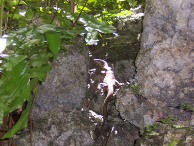
One interesting visitor we encountered was a 3′ monitor lizard. He posed in the sun for us to snap his picture.
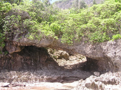
The beach was partly covered with trees, so that diminished the beach, but helped shade us from the sun. We explored caves:
Land bridges:
Small creatures:
and snorkeled.
Romeo found the hike a bit more challenging, as the soles to his hiking boots disintegrated on the trip down. He survived (albeit uncomfortably) using my Chacos for the rest of the hike.
It was a good day, but we hope we didn’t scare off Paul and Romeo from hiking with us again…
Jim